Monday, April 22, 2013

Petrified National Forest - Painted Desert


The Petrified Forest is known for its fossils, especially fallen trees that lived in the Late Triassic, about 225 million years ago.  Paleontologist have studied fossils in the park since 1920.


Rauisuchians provide an excellent example of convergent evolution. Though their body looks similar to meat eaters like Tyrannosaurus and Allosaurus who lived late during the Jurassic and Cretaceous periods, they are more closely related to Crocodiles than to Dinosaurs. 


Petrified wood is surprisingly heavy, weighing nearly 200 pounds per cubic foot, and its hardness is seven on a 10-point scale. A mix of silt, mud and volcanic ash buried these logs. This sediment cut off oxygen to the tree and the logs slowly decayed. Silica-laden groundwater seeped through the logs and replaced the original wood tissue with silica deposits. Eventually the silica crystallized in quartz, and the logs were preserved as petrified wood.  


Check out the information regarding the above section of petrified wood. 


This petrified tree has diameter of 10-feet.


Click on above photo to enlarge.  


This structure, called Agate House, is a partial reconstruction of an Indian Pueblo built almost ten centuries ago.  The petrified wood will far outlast the mud and mortar used to hold them together.


Here's a closer look at one of the sections.  Petrified wood's varied colors came from minerals in the silica-saturated waters.  Iron, carbon, manganese and some times cobalt and chromium produced patterns and blends of yellow, red, black, blue, brown, white and pink.


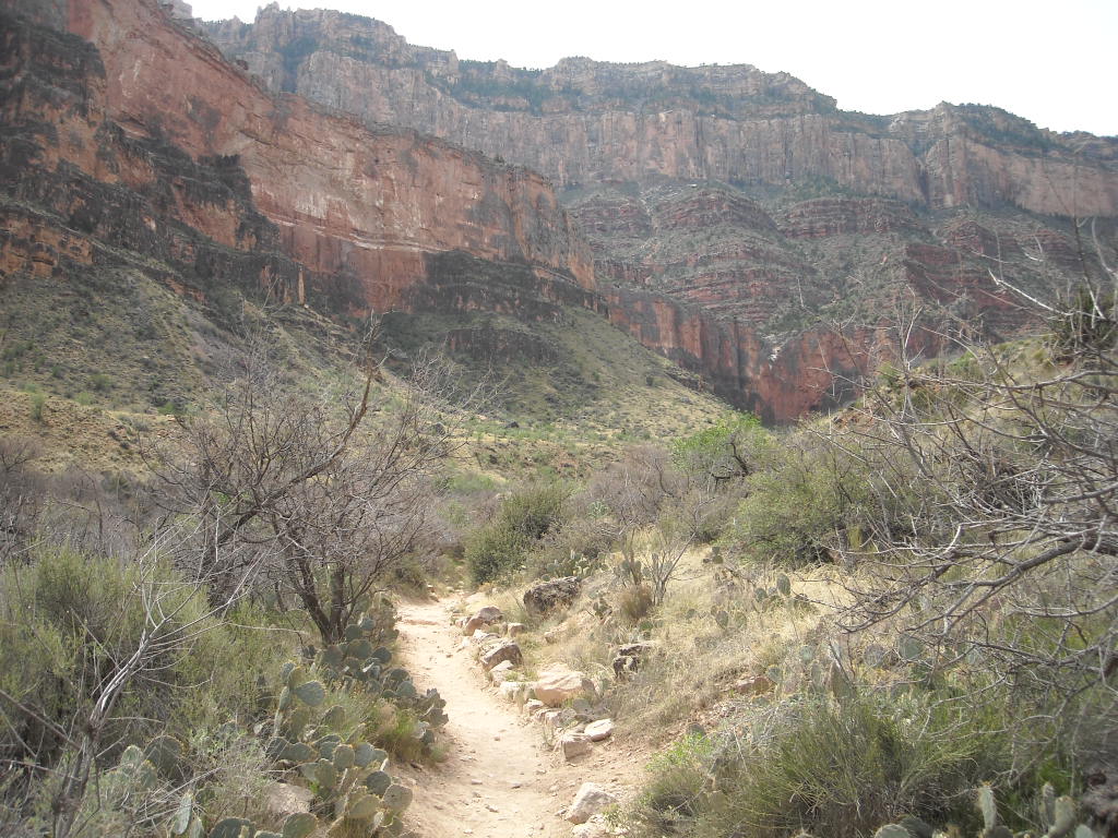
Those familiar with the Badlands sometime believe that the formation is merely piles of sand or mud. Badlands are actually rock, albeit relatively soft. The mud stones and clay stones easily wear away under centuries of wind and water, the outer layer weathers into a crumbling surface.  We are taking a walk at the Blue Mesa Trail.   Notice the hood, gloves and jacket.  It was very cold during our visit.


The Painted Desert is a United States desert of badlands in the Four Corners area from the Grand Canyon National Park into the Petrified Forest National Park. Much of the area within the Petrified Forest National Park is protected as the Petrified Forest National Wilderness Area.


The desert is composed of stratified layers of easily erodible siltstone, mudstone, and shale of the Triassic Chinle Formation. These fine grained rock layers contain abundant iron and manganese compounds which provide the pigments for the various colors of the region.


The day we visited the park it was very cold and sun was intermittent.  During a bright sunny day the colors of the desert are stunning.  

Saturday, April 20, 2013

Montezuma Castle National Monument - Camp Verde AZ


Although Montezuma Castle is the show place of the monument, it is not the only building here.  Once upon a time, its 20 rooms stood along side more than 65 others in the castle,  Between 85-90 rooms housed a community of perhaps 150 people.


This is a model of what it might have looked liked inside the walls of the castle.  If you click on the photo, and look at the very top floor you can see an elder who carefully acts as a lookout in case of an approaching enemy tribe. 


You can see in this photo the various levels of the castle. It took ladders to climb the castle which made it incredibly difficult for enemy tribes to penetrate the natural defense of the vertical barrier.   


To construct their cliff tower, the residents created walls with river cobbler and limestone held together with mud mortar.  Mud plaster covered and sealed the walls.  


You can see a window in the center left portion of this photo.  By 1425, Montezuma Castle and Tuzigoot and other villages throughout the valley were no longer occupied.  However, the people did not disappear.  Their descendants still live nearby, and they still return periodically to these villages of long ago.

Tuzigoot National Monument, Camp Verde, AZ


The Tuzigoot National Monument pronounced Too-zee-goot, is an ancient village or pueblo built by a culture known as Sinaqua.   The Sinaqua were agriculturalists with trade connections that spanned hundreds of miles. 


The pueblo consisted of 110 rooms including a second and third story structure.  The first buildings were built around 1000 A.D. 


Resembling a castle or fort, Tuzigoot (Apache for "crooked water) is considered perhaps the most beautiful site of the Sinaqua people.  


The ceilings were about six-feet-high and the pueblo is about 120 foot in height.  


By the time the people left the region around 1400 A.D., the Pueblo housed perhaps 250 people in its 110 rooms.  It was a city of its day, where people learned to resolve the problems of living together. 

Friday, April 12, 2013

Bright Angel Trail Hike


To get the best views of the canyon its best to hike down the South Kaibab Trail and return via the Bright Angel Trail.  There are two main reasons its one of the earliest trails from the South Rim: water and accessibility.  The springs at Indian Gardens produce more potable water than others along the south side of the canyon, and the Bright Angel Trail Fault creates a natural break in the cliffs, making it easy to reach Indian Gardens.


Donna takes one more look at Phantom Ranch before she heads out on her return trip.  The trails begins along the river which is not as easy as one might suggest.  The Trail makes a couple of fairly steeps ascents and descents along the way and walking across some of the dune sections with a full pack can be difficult.  We can all attest to that.  


This video shows us hiking the dune section of the river trail.  The trail along the river runs for 1.7 miles before it starts to head upward towards the South Rim. 


The trail follows along a stream and you cross the stream 4 times at different locations.  Each location provides its own difficulty in crossing.  The hiker utilizes large rocks and hiking sticks to aid them in crossing.  One wrong move and you and your feet could be wet.  


Here's a video of Kathy and Donna at one of the stream crossings.  Are you sure your shoes are water proof?


Kathy and Donna take a well deserve rest at Indian Gardens.   Indian Gardens is considered the half way point of the return hike.  Get some rest, eat and drink plenty of water.  Only 4.5 miles to go!


This is an excellent photo showing some of the trail leading out of Indian Gardens.  You have about 1.5 miles to get to the 3-mile rest house.  


You can see hikers walking along the switch backs leading up the canyon.  This starts the steepest part of the return hike.  The hiker gains 1000-foot in elevation per mile for the last 3 miles of the hike.  Remember, the hiker traveled 7 miles before starting the final ascent of the journey. 


Doyle and Judy take a rest during the last 1.5 mile hike up to the rim.  


Judy and Doyle cross the finish line.  You can see by Judy's smile she is glad its over.  You can also see that they are doing some renovations at the trail head.  


The group having a well deserved meal.  Afterwards, we opened a couple bottles of wine at the coach and viewed all the photos and videos documenting our journey.  The trip was wonderful and we all will have great memories of our time together.  A special thanks to Kathy for all the repeated phone calls and coordination to make this "expedition" as Doyle calls it, a special memory.  


Here's the final stats regarding our hike.  If you have trouble reading data, just click on the photo to enlarge it.  

Pulling up Anchor at Acadia National Park

 I thought it would be nice to add a few facts about Acadia National in each of the photos below. We decided that our last trip here at Acad...