Thursday, June 4, 2015

Monument Valley Navajo Tribal Park - Wild Cat Trail


The Wildcat Trail is the only hiking trail inside the Tribal Park that visitors can hike unescorted by authorized Navajo guides.


The Wildcat Trail begins just past the Navajo Tribal Park visitor center by the edge of a large, flat parking area at the edge of an escarpment.


The first part of the path winds a few hundred feet down a gently sloping hillside towards West Mitten Butte, about one mile away.


 A mile or two further, and to the left are the wider cliffs of Sentinel Mesa, while the horizon in the far distance is largely featureless.


The Trail allows for inspection of this rock from all angles, even if the surrounding landscape looks similar all along the one to two hour journey.


Merrick Butte rises ever more prominently ahead as the path curves around the West Mitten Butte, revealing its top to be a thin narrow ridge rather than the wide, rounded peak that appears from the south, the normal viewing angle.


On the far side, the trail runs for a while along a larger dry wash, then soon turns back northwest, now over even flatter ground that gives the first good view of a group of little-visited rocks to the north, including Big Indian, Saddleback and Castle Butte. These are several miles away, but rather closer is the tall span of Sentinel Mesa that comes into view directly ahead.


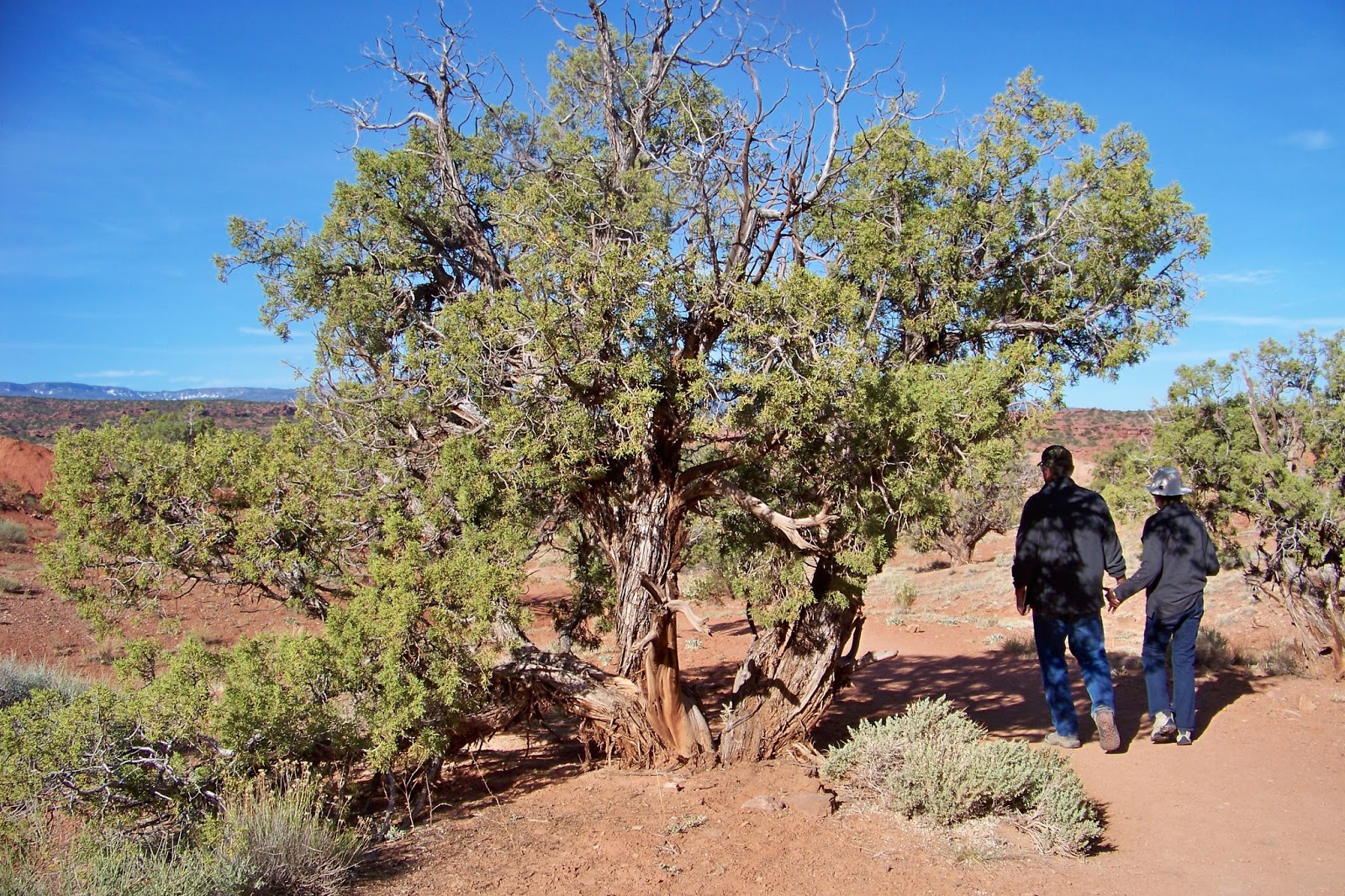
The hikes continues along a stream bed as you begin your return trip,


The toughest part of the return hike is along the hilly portion of sand.  You really work your legs to get up the 10-15 percent grade. 


We hiked the 4-mile trail at 24 minutes per mile.  We used Kathy's phone app to track our progress. 


The hike is completed by a walk along a short climb back to the trail junction, from where the starting point is a little way further up the hill.


Monument Valley Navajo Tribal Park


Since we were out west and not knowing if we would ever pass this way again, we decided to visit Monument Valley Navajo Tribal Park.  The scenery in the park was simply amazing.  


We decided to take the 17-mile scenic drive throughout the valley.


This photo shows the East and West Mittens. 


Merrick Butte


Elephant Butte


This shows Three Sisters.  Looks like the one in the middle is on a diet.


Movie Producer John Ford's Point.  He produce several Westerns here starring "John Wayne." 


Sunrise Camel Butte


The Hub


Totem Poles


Balanced Rock.  Every park has one. 


Artist Point


Cly Butte


The window 


The View Hotel.  Great Sunrises!


The Duke himself.  From 1925-2007 a total of 53 movies were shot at Monument Valley. 


Forrest Gump Starring Tom Hanks - 1993.


National Lampoon's Vacation starring Chevy Chase 1983.  

Valley of the Gods

Rock formations are places of power in which spirits reside, and the formations in the Valley of the Gods are some of the most distinctive.  These imposing monoliths are Navajo warriors frozen in stone, who can be appealed to for protection. They are guardians whose power and strength aid young serviceman going to war.   


A 17-mile loop through the Valley of the Gods.  Kathy did all the driving.  


The Valley of the Gods and the Moki Dugway are popular filming locations because of its classic "Western" look.  


Filming projects include still shots and moving film for commercial ads, major motion pictures. and events such as the Marlboro Adventure team and hot air balloon rides. 


Background shots for the Play Station game were also taken here.  

Mexican Hat Area


These are photos taken near Mexican Hat, Utah. 


The mountain sculpture is fascinating.  


The colors are beautiful to see.


This was taken after we left the Valley of the Gods on the road back to Monument Valley.  

Sunday, May 31, 2015

Capitol Reef National Park - Chimney Rock Trail / Gooseneck


Chimney Rock Loop Trail is a 3.5 mile trail. 


The trails namesake is a stately pillar of rich Moenkopi Formation displayed in the center of this photo.   


From the trail head the beaten path snakes northeast through Moenkopi mounds.  


From 0.3 miles from the trail head, you start ascending through the Purple Chinle mounds along a series of switchbacks.  


A sign marks the different trails and distances. 


The path continues to climb to reach the top of the mesa at 1.0 miles.


Soon, Chimney Rock is visible.


Our trail down the back of the mesa.  


You will see the familiar junipers, but with a twist-literally- as the wind twists the wood of these century old specimens. 


At 1.2 miles, you will begin your decent. 


Remember our hike to Navajo Knobs.  They appear on the top left side of this photo and the Castle is just visible on the right hand side of the photo.


These boulders. See next photo.


Once belonged on the side of this cliff.  I can say we never saw or heard of any boulders falling during our entire visit to the park.


The hike ends back at the trail marker.

Goosenecks Overlook 


Gooseneck's Point Marker


A detailed explanation of the goose-necks is detailed on this plaque. 


Nearly 800 feet below Sulphur Creek continues to shape this canyon. 


The stream is a tributary of the Colorado River.


The title says it all!


Pulling up Anchor at Acadia National Park

 I thought it would be nice to add a few facts about Acadia National in each of the photos below. We decided that our last trip here at Acad...