Wednesday, May 19, 2021

Flagstaff to Sedona AZ


You start out up in the lush rugged forests of Flagstaff and work your way down (in direction (south) and in elevation) to the canyon and rock formation


The higher regions of the canyon display forests full of Aspens, Oaks and Maples.


You need to keep an eye out for rocks falling on the road.


You want to look up at the beautiful formations but keep your eyes on the road. 


The closer you get to Sedona the more red rocks appear. 


Talk about scenery sensory overload.


This is an aerial shot that I found on-line of the switchbacks along the route. Speed of turns range from 15-20 MPH.


This road can have some awesome switch backs and steep ascents/descents.


A great 35-mile ride.  We stopped at a local Mickey D's for a cinnamon roll and milk.  


Monday, May 17, 2021

South Piedra Lisa Trail


Kathy took a photo of the trail route but we did not need it. She has an App on her phone called "Map my Walk" which as long as you have phone connectivity, it shows you your route and your location. It also showed elevation, distance and time.


Piedra Lisa, we think means (Smooth Stone) Trail marker. Trail follows the hillside around to the north before entering a canyon and climbing, nearly constantly, to the saddle at 2.2 miles.


The trail is well maintained and easy to follow with wonderful views throughout.


As with other hikes in the area, the start follows some very nice houses along the route.


Steep but us sea level east coast seniors pushed through with some stops along the way! Great vistas!!!!


Excellent moderate hike. Well maintained trail with great views of Sandia Crest.


Remember the great views!


The payoff is worth the scramble up to the summit for the panoramic view.


You never know what's in the photo till you view the shot.  Kathy did an excellent job catching a bird in fight.  


It gets a little confusing as to where you're supposed to go at the T-junction at the top, but just find a place and enjoy the view!

Tramway Trail Hike


The Tramway trail is a 5
mile heavily trafficked out and back. It offers great views of the lower Sandia
Mountains on the eastern slope.


The trail begins near the Tram parking lot and is marked by this metal post. You have to pay $3 for parking to get close to the trailhead.


                     You can see the Tram building in the center of this photo.


Even in the desert, you can see beauty.  


Don't expect much wilderness; you can see the houses not far below you for most of the trail.


The trail is fairly normal until you get the the last mile of the hike.


The last mile goes steeply uphill which was a good workout for both of us. 


The trail was full of other hikers.
It has nice varied terrain, wildlife, shade trees, and great views of ABQ and the tram. Plus it's not very busy, so it was much quieter.


This was a pleasant trail with nice views. Most of the trail is mellow, except for a few steep rocky parts during the last part of the trail. It does reward you with great views of Albuquerque.


Sandia Mountains Hike - New Mexico

 While camping at Kirtland AFB in New Mexico, we completed several day hikes in the Sandia Mountain Range. These hikes were to strengthen our hiking skills for our upcoming 8-day Colorado Rafting Trip.  Our first hike was the Whitewash Trail. 


The trail begins over the bridge and goes directly ahead to the base of the mountain.


Here is Kathy before we start our climb to the top. 


As you can see, we traverse some formidable rocks on our way to the top.  


The trail was well identified throughout our hike.  


On weekends the trails are well packed by local residents and their dogs. 


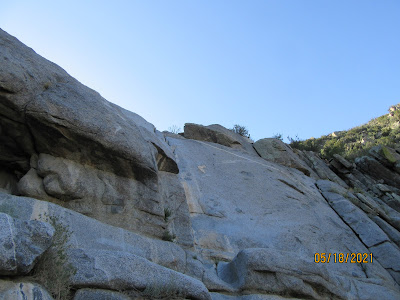
During our hike we noticed several climbers getting ready to repel down the rock face. Unfortunately, we never got to see any of them actually repel.   


Pulling up Anchor at Acadia National Park

 I thought it would be nice to add a few facts about Acadia National in each of the photos below. We decided that our last trip here at Acad...