Wednesday, March 27, 2013

Riverside Casino Campground, Laughlin NV


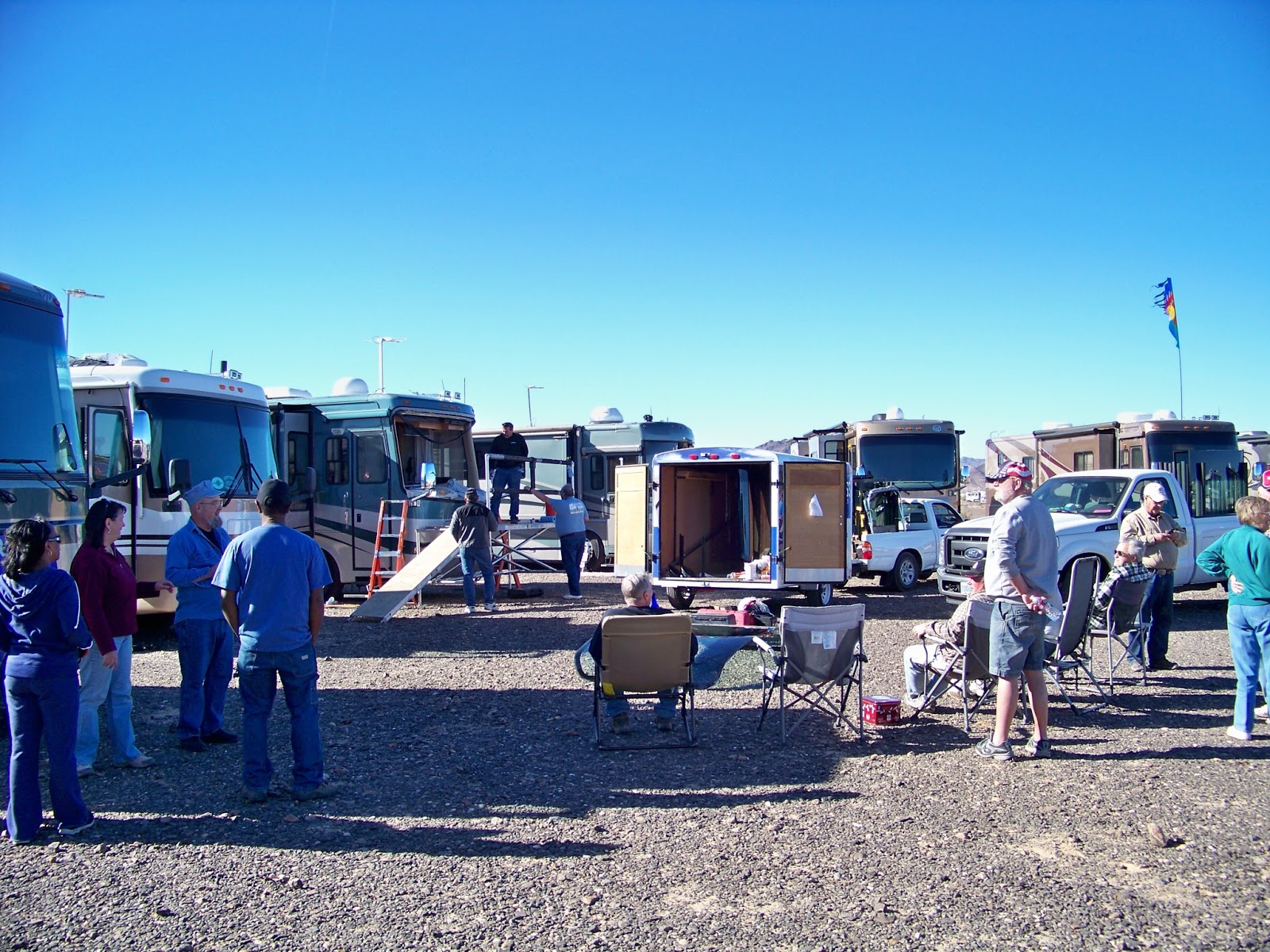
Here we are in site 481 at Riverside Casino RV Park.  This location is considered the Nob Hill of the park. We are the coach park at the left in this photo.  The center coach is owned by Mike & Sharon  while the one on the right is owned by Rick & Mic(key).  We all attended the Quartzsite RV Show in January. 


From our sites, we have terrific views of many casinos as well as the Laughlin airport.  We decided the price was right and decided to spend the months of February & March with our friends. The cost per week was $108.00 which included 2 free breakfast buffet tickets.  We used the tickets to attend the Sunday Champagne brunch.


This photo was taken on March 26th which happened to be a night with a full moon.  You can see the moon rising up over the Black Mountains in Arizona.  The city of Laughlin, NV sits on the west side of the Colorado River, while Bullhead City, AZ sits on east side of the river.  There is normally an hour time difference except during the months of daylight savings time.


Here is Mike (left) and Rick (right) probably wondering what we are doing tomorrow.  Each day brings a new adventure.  During our stay, we made many enhancements to our motor homes.  This is one of the few times that Mike did not have his new Makita drill in hand.  The drill worked so well that both Rick and I had to have one.  I can also testify that Kathy got every benefit from her Amazon Prime membership as she received packages at least 2-3 times a week.


Here we are eating at the Sunday Champagne brunch.  You cannot see it, as they eat the evidence, both Kathy and Mike had their fair share of the bread pudding.  The menu was extensive and included Prime Rib, Ham and many other buffet favorites.


To prepare for our upcoming Grand Canyon hike, Kathy and I walked many times from our campsite to Davis Dam.  The Riverwalk Exploration Trail  Hike is a favorite among many of the visitors to the city.  The hike from our campsite to the Dam and back was right at six miles.  


To add some difficulty to our hike, we decided to walk up an existing sand-filled trail to the top of the ridge.  This photo of Kathy coming back down the hill does not do justice to this trail. The trek up the hill was difficult to say the least.  For every step we took, we slid back one.  It was quite a hill to navigate. You can imagine how difficult it was with a fifteen pound pack on your shoulders.   It was great training for the Grand Canyon!


Here's a view of one of the Arizona campgrounds that sits directly on the river.  It's a little empty now, but it will be packed in another month or two when the summer temperatures exceed 100 degrees.   Jet Ski and Boat rentals is big business in the summer here at Laughlin.


In this photo, notice the walking path along the river.  The Riverwalk Exploration Trail  runs from Highway 95 to the Davis Dam just at 2 miles in length.   The path has several parking areas with restrooms as well as picnic areas along its route.  The water fountains are equipped with pet fountains for your favorite four legged friends.


Davis Dam sits on the Colorado river approximately 70 miles downstream from the Hoover Dam.  It stretches across the borders between Arizona and Nevada.  The Davis Dam Power Plant sits on the Arizona side of the Dam and produces between 1 and 2 terawatt-hours of electricity annually.  In this view you can see stretches of Lake Mohave beyond the Dam.  


Saturday, March 9, 2013

Quartzsite 2013


According to the local Chamber of Commerce the summer population in Quartzsite AZ is about 300 people.  It is estimated that the population increases to over 250,000 people during the last two weeks of January each year during its annual RV show.  About a 1000 vendors sell just about anything you can think of during the show.  Here's an aerial photo showing the big tent and some of the many RVs that attend the event. 


Here's a photo of some of the early arrivals of the Monaco Owners Forum of an Internet RV group called IRV2. This is a leading online forum community and social network for RVers.   We camped in a section of Bureau of Land Management called La Posa South, in Arizona.   Its dry camping only, however this particular section does have water and a dump station.  It costs us $40 dollars for a two week pass. 


 A big thanks to Mike Fetter "Drifter" for coordinating our location.  Kathy was our historian.  She verified every one's names, as well as arrival and departure dates.  Each night we sat around a huge campfire and discuss what happened during the day. 


It's been two years since we last attended the Big Show, so we are spending time catching up since we last met.  Many of us full-time in our motor homes.  When your home travels down the highway, things sometimes go amok.  This is a great opportunity to help by some extremely knowledgeable personnel.  You can always count on Mike Fetter to drill a hole in your very expensive motor home.  Mike's motto  "Who cares, it's not mine".  


The gathering begins as soon as a vendor shows up to work on an RV.  The group gathers their chairs and coffee then watches the entire operation from start to finish.  During this year event we got to see several windshields replaced and a few Steer Safe drive systems installed.  A couple of vendors also stopped by to show their products and answer any questions.  


It leaked out that Kathy made doughnuts the last time we visited, so again she worked her magic.  Everyone had their fill and we discussed the day's activities.  


The ladies social club meets to determine where the group is going for dinner. Tonight we visited the famous Quartzsite Yacht Club.  The fish and chips were a delight.  We were also serenaded by the owner and staff member singing "Hi Jolly" a song about a famous Greek-Syrian resident who was brought to America by the U.S. Army in the late 1850's along with a herd of camels.  He taught the solders how to feed, load and drive the camels.  It was an idea that never quite worked.  When the government abandoned the project, the lonely camels wandered off in the desert to dream and die.  It was great seeing everyone again and we look forward to our return!


Thursday, March 7, 2013

White Sands National Park - Alamogordo NM - January 2013


White Sands National Monument, it’s not a national park, contains a significant portion of the world’s largest gypsum dune field.  The glistening white dunes rise 60 feet in height and covers 275 square miles.  Kathy is pictured here on our way into the parks visitor center.  


No, we are not in New England after a nor'easter.  We are beginning a 16-mile scenic drive that leads from the visitor center into the heart of the dunes and back.   Wind is a dominant factor in the park often blowing at gale forces especially from February to May. Wind storms can last for days in the spring.  


Here you can see the natural beauty of the park.  The color of these dunes really is a coral pink, and they’re most beautiful near sunrise and sunset. They get their color from rubbing against each other as the wind blows the tiny gypsum pellets (sand)  throughout the park.


You can see here how the plants have adapted, extending root systems to remain atop the ever shifting dunes.  The plant in the center of this photo is a Yucca plant which is native to this area.  


They looked like igloos from a distance, but they are covered picnic areas where visitors can have lunch and enjoy the park.  White Sands National Monument is also home of White Sands Missile Range.  When testing is being conducted the park is closed to visitors for obvious reasons.  


That's right bring your favorite sled and enjoy the ride.  Some dunes are tall and steep enough to provide a good ride on a plastic toboggan or sled.  Most sledders use waxed plastic snow saucers. 


With only 300,000 visitors a year, the park is seldom crowded.  Notice that the road is completely covered.  The park uses plows to push the sand to sides providing access for visitors. The white sands dunefield is active.  The dunes can move from west to east as much as thirty feet per year.    


Hiking is one of the parks most popular activities.  It was very cold when we visited the park.  Most of the visitors had on cold weather jackets.  In the summer the rangers recommend you carry a gallon of water during hikes as temperatures can exceed 100 degrees.  Stargazing is another feature of the park during the summer.  


Here is another example of how plants have adapted to the dune fields.  The rain makes the sides of this mound harden to form a nature barrier.   We truly enjoy our short visit to the park and would recommend it to anyone visiting the area.  

Pulling up Anchor at Acadia National Park

 I thought it would be nice to add a few facts about Acadia National in each of the photos below. We decided that our last trip here at Acad...